
Aircraft Noise
Aircraft noise is one of the environmental resource categories the FAA will evaluate in the EIS. Because noise is often a primary concern for communities near an airport, this page explains how aircraft noise is measured and where to find current information about noise around SAT.
The City of San Antonio’s Title 14 Code of Federal Regulations (CFR) Part 150 Noise and Land Use Compatibility Study (the Part 150 Study) approved in 2021, includes Noise Exposure Maps (NEMs) that show aircraft noise levels around SAT under the current airfield configuration. These maps are available on the City’s website.

The EIS will include its own noise analysis, using updated aviation forecasts, to evaluate noise conditions under the Proposed Project and alternatives. Results will be presented in the Draft EIS.


The FAA NEMs are based on the annual day-night average sound level (DNL) noise metric. This metric was developed under the auspices of the US Environmental Protection Agency; it embodies extensive information regarding the physical description of transportation noise as related to human annoyance in residential areas.

DNL represents average noise levels over a 24-hour period, which are expressed in A-weighted decibels (dBA), a sound pressure level metric that emphasizes sound at the frequency range over which the human ear is most sensitive. In the calculation of DNL, sound events occurring during the nighttime hours (10:00 p.m. to 7:00 a.m.) are increased by a 10-decibel weighting to represent the increased sensitivity of people to noise that occurs at night and the lower ambient noise levels during those hours.
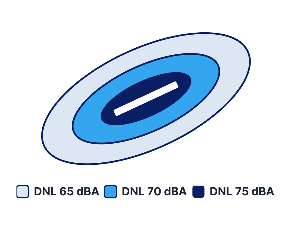
Aircraft DNL values represent the cumulative effects of all aircraft operations occurring during an average 24-hour period, referred to as the Average Annual Day (AAD), derived from aircraft operations data for an entire calendar year. The noise exposure contours depicted on NEMs are lines connecting points of equal noise level; for the Part 150 NEM Update study, the FAA-required levels are DNL 65 dBA, DNL 70 dBA, and DNL 75 dBA.
The DNL 65 dBA contour represents FAA’s residential land use compatibility standard.